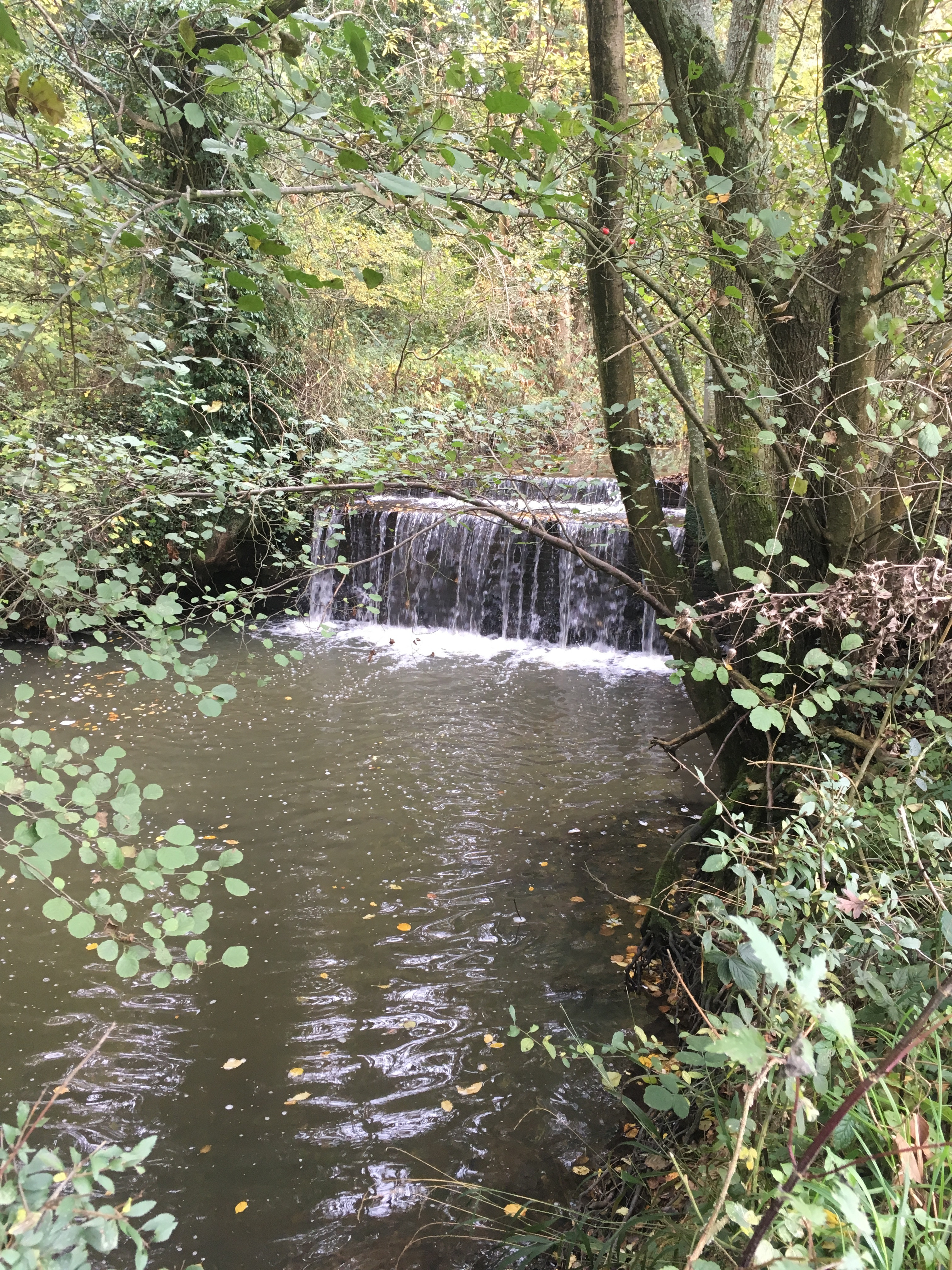

In 2010, the Adur & Ouse Catchment contained 383 man-made structures forming barriers in the river system and creating multiple problems for their connectivity and ecology. These weirs, sluices, culverts, and dams prevent the movement of fish and block access for eels into their preferred habitat. They also disrupt the natural movement of sediment, preventing flow and increasing the impact of drought. Whilst some of these structures serve a function in flood risk management and flow monitoring, many are a now redundant legacy of historic navigations, agricultural practices, or land drainage.
The Ouse & Adur Rivers Trust has re-connected over 200km of the river network by removing or constructing fish passes to 19 of these structures (5% of the total). There is a long way to go to create riverine corridors which enable healthy, native, wildlife populations to flourish and out Breaking Barriers programme is a long-term project taking a strategic approach to creating connected river channels and providing the necessary habitat for all our fish species to thrive.

Our Aim
Through Breaking Barriers, we are focusing on unlocking the river system, encouraging the removal of redundant barriers or installing technical fish pass solutions where structures serve a function. Our aim is to open a further 100km of river network to all species in all flow conditions by 2030.
Our Priorities
We have assessed where the density of barriers is greatest, enabling us to focus efforts where they will be most effective and highlighting priority areas;
The River Uck.
The northeast of the River Ouse (Cockhaise Brook, Shortbridge Stream, Middle Ouse, and Sheffield Park Stream).
Eastern Adur (Chess Stream, Herring Stream, Adur East)
Removal or mitigation of barriers will always be complimented by upstream habitat creation and alterations to the morphology of the channel.
We will accurately map all structures observed to add to existing data sets, which are known to be incomplete, enabling longer term strategic approaches to be developed beyond 2030.

Our Progress
Since releasing our strategy in 2024 we have removed a further barrier on the Cockhaise Brook, opening 0.4km of river channel. We are currently progressing with the next upstream barrier, the last major blockage in the waterbody which will see a further 10.5km of connectivity added to the network.

